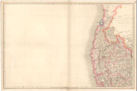
[Map of India]


Section: Maps, plans and nautical charts
Uniform title: India. Mapas generales (1852). 1:3000000
Title: [Map of India] / Captn. H. Morland Liens. J.S. Du Vennet & S.C. Macpherson, Surveyors [... et. al] Engraved by J & C. Walker
Material or type of resouce Area: Escala [ca. 1:3000000], 30 English Miles [= 18,5 cm]
Publication: [London ?] : Published according to Act of Parliament by James Horsburgh Hydrographer to the East India Company Augt. sst..., 1827
Physical description: 1 mapa en h. : col. ; h. de 68,2x101,4 cm
Content type: Imagen cartográfica
Media type: computadora
Carrier type: recurso en línea
Notes: Título facticio redactado a partir del contenido del documento
Relieve representado por normales
Indica divisiones administrativas en color
Materia / lugar / evento: Mapas generales
1827
Other authors: Morland
Macperson
Horsburgh, James
J. & C. Walker
UDC: 912(540)'1852'
540
Type of publication:
 Maps
Maps
Rights:
Préstamo:
 Disponible
