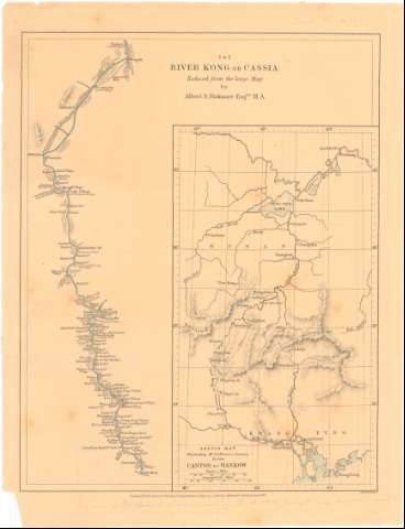
The River Kong or Cassia : reduced from the large Map


 Disponible Holdings
 Section: Maps, plans and nautical charts
Title: The River Kong or Cassia : reduced from the large Map / by Albert S. Bick more Esqre. M.A. ; Edwd. Welles
Material or type of resouce Area: Escala indeterminada
Publication: London : Journal of the Royal Geographical Society by J. Murray, Albemarle Street, 1869
Physical description: 1 mapa : col. ; 25x8,3 cm en h. de 28,5x22 cm
Content type: Imagen cartográfica
Media type: computadora
Carrier type: recurso en línea
Notes: Comprende desde Hingan a Wuchau
Relieve representado por sombreado
Sketch map illustrating Mr. Bickmore's Journey from canton to Hankow
Other authors: Bickmore, Albert S
Weller, Edward
Royal Geographical Society (Londres)
UDC: 912:556.53(282.25 Kong)'1869'
282.25 Kong
Type of publication:
 Maps
Maps
Rights:
Préstamo:
Disponible
