Topographiser Atlas Konigreiches Sachsen : auf befehl...


 Maps, plans and nautical charts
Topographiser Atlas Konigreiches Sachsen : auf befehl weiland Sr. Majestat des Konigs Friedrich August (1836-1858)
Maps, plans and nautical charts
Topographiser Atlas Konigreiches Sachsen : auf befehl weiland Sr. Majestat des Konigs Friedrich August (1836-1858)
 Disponible Holdings
 Section: Maps, plans and nautical charts
Uniform title: Alemania. Mapas generales (1836-1858). 1:57600
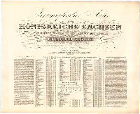
Title: Topographiser Atlas Konigreiches Sachsen : auf befehl weiland Sr. Majestat des Konigs Friedrich August / aus der grofsen topograhischen Landes aufname reducit und bearbeitet bei der Koniglichen Militar Plankammer ; bearbeitet von dem Director Oberst Lieutenant Oberreit ; gestochen von Krille... [et al.]
Material or type of resouce Area: 1:57600 ; [proyec. cónica]
Publication: Dresden : Koniglichen Militar Plankammer, 1836-1858
Physical description: 1 atlas en 19 h. ; 236 x 429 cm en h. de 75,5 x 93 cm o menos
Content type: Imagen cartográfica
Media type: computadora
Carrier type: recurso en línea
Notes: Presenta el antiguo reino de Sajonia
Coordenadas referidas, al parecer, al meridiano de Hierro (E 29 50'-E 32 50'/N 51 27'-N 50 15'). Red geográfica de 5 en 5
Relieve representado por normales
Tablas de altitud y coordenadas de poblaciones según zonas
Notas relativas a datos geográficos
Sello en seco del Cuerpo de Estado Mayor Depósito de la Guerra
Consta de cuatro partes, cada una correspondiente a los años 1836, 1843, 1850 y 1858 respectivamente
Inserta mapa de triangulaciones
Materia / lugar / evento: Mapas generales
Atlas
S.XIX
Leipzig
Dresde
Chemnitz
Sajonia
Alemania
Other authors: Oberreit, General Jacob Andreas Hermann
Krille, K.F
UDC: 912(430-11)'1836/1858'(084.4)
(430-328 Leipzig)
(430-328 Dresden)
(430-328 Karl Max Stadt)
Type of publication:
Maps
Rights:
Préstamo:
Disponible
