Ober - und mittel Italien im maassstabe von 1:1.850.000 :...


 Maps, plans and nautical charts
Ober - und mittel Italien im maassstabe von 1:1.850.000 : [generalkarte] (1879)
- Petermann, Augustus, 1822-1878
Maps, plans and nautical charts
Ober - und mittel Italien im maassstabe von 1:1.850.000 : [generalkarte] (1879)
- Petermann, Augustus, 1822-1878
 Disponible Holdings
 Section: Maps, plans and nautical charts
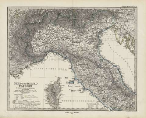
Title: Ober - und mittel Italien im maassstabe von 1:1.850.000 : [generalkarte] / von A. Peterman ; gez. von H. Habernicht, gest. v.A. Haneman, Terrain v. C. Jungman
Author: Petermann, Augustus, 1822-1878
Material or type of resouce Area: Escala 1:1.850.000
Publication: Gotha [Alemania.] : Justus Perthes, 1879
Physical description: 1 mapa : col. ; 33x41 cm, en h. de 39x48 cm, pleg. en 39x24 cm
Content type: Imagen cartográfica
Media type: computadora
Carrier type: recurso en línea
Notes: Coordenadas : E23 50'-E32 10'/N46 40'-N41 20'. Meridiano de Ferro. Constan ademas coordenadas segun el meridiano de París
Relieve : sombreado
Leyenda de signos utilizados
En el margen superior derecho : "Stieler's Hand-Atlas Nº 31"
Copia digital . España : Ministerio de Cultura y Deporte. Subdirección General de Coordinación Bibliotecaria, 2010
Other titles: En: Hand atlas : über alle Theile der Erde und über das Weltgebäude. - Gotha [Alemania R.D.] : Justus Perthes, [1879]. - N 31
Materia / lugar / evento: Mapas generales
San Marino
Other authors: Stieler, Adolf, 1775-1836
Habenicht, Hermann, 1844-1917
Hanemann, August, 1840-1926
Jungmann, Carl
Justus Perthes (Firma)
Related titles: Italia. 1:1850000
UDC: 912:341.222(45-2/5)'1879'
45
Type of publication:
Maps
Rights:
