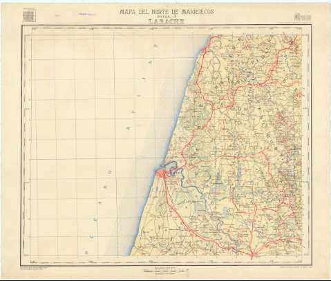
Larache. Hoja 3


Section: Maps, plans and nautical charts
Title: Larache. Hoja 3 / formado por el Servicio Geográfico del Ejército
Material or type of resouce Area: Escala 1:100.000
Publication: [Madrid] : Talleres del S.G.E., 1943
Physical description: 1 h. : col., montado sobre tela ; 70 x 84 cm
Content type: Imagen cartográfica
Media type: computadora
Carrier type: recurso en línea
Other titles: En: Mapa del norte de Marruecos. - Hoja 3
Materia / lugar / evento: Mapas topográficos
1943
Larache (Provincia)
Tánger-Tetuán (Marruecos, Región)
Marruecos
UDC: (64 Larache, provincia)
Type of publication:
 Maps
Maps
Rights:
Archivo Cartográfico de Estudios Geográficos del Centro Geográfico del Ejército
Collection: PCGE — Location: DE — Call number: MAR-C.2-030 H. 3 — Código de barras: 9779390 — Notes: B
Préstamo:
 Disponible

© Ministerio de Defensa de España
P. de la Castellana, 109 28071 Madrid.
Tlf: (34) 91 395 50 00
Email: patrimonio.cultural@oc.mde.es