Larache. 7-8


Section: Maps, plans and nautical charts
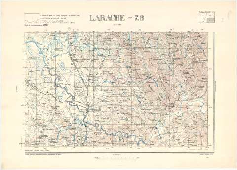
Title: Larache. 7-8 / Dressé, dessiné et publié par le Service Geographique du Maroc
Material or type of resouce Area: Escala 1:100.000
Publication: Rabat : Service Geographique du Maroc, 1938
Physical description: 1 mapa : col. ; 44 x 61,5 cm
Content type: Imagen cartográfica
Media type: computadora
Carrier type: recurso en línea
Other titles: En: Carte de reconnaissance au 100.000e. - H. 6
Materia / lugar / evento: Mapas militares
Mapas topográficos
1938
Larache (Provincia)
Tánger-Tetuán (Marruecos, Región)
Marruecos
Other authors: Marruecos. Service Géographique
UDC: (64 Larache, provincia)
Type of publication:
 Maps
Maps
Rights:
Archivo Cartográfico de Estudios Geográficos del Centro Geográfico del Ejército
Collection: PCGE — Location: DE — Call number: MAR-C.13-150 H. 6 — Código de barras: 9791928 — Notes: B
Préstamo:
 Disponible

© Ministerio de Defensa de España
P. de la Castellana, 109 28071 Madrid.
Tlf: (34) 91 395 50 00
Email: patrimonio.cultural@oc.mde.es