Landshuth (23 Juin 1760)


Section: Maps, plans and nautical charts
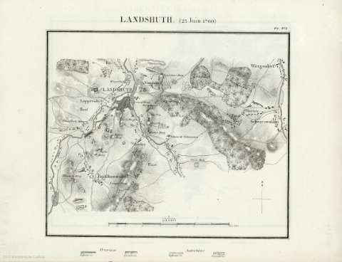
Uniform title: Landshut. Batallas. 1839. Francés (1760). 1:50.000
Title: Landshuth (23 Juin 1760)
Material or type of resouce Area: Escala 1:50.000
Physical description: 1 mapa ; 31x24 cm
Content type: Imagen cartográfica
Media type: computadora
Carrier type: recurso en línea
Other titles: En: Batailles et principaux combats de la Guerre de Sept Ans. - [París] : J. Dumaine, editeur, 30, rue et passage Dauphine, [1839]. - Pl. XVI
Materia / lugar / evento: Guerra de los Siete Años, 1756-1763
Batalla de Landshut, 1760
Operaciones bélicas
Estrategia militar
Topónimos antiguos
1756-1763
1760
Landshut
Alemania
Europa
Genre / form: Mapas militares
UDC: 912:355.4]:355.43(4.191.2)'1760'
4-191.2
Type of publication:
 Maps
Maps
Rights:
Préstamo:
 Disponible
