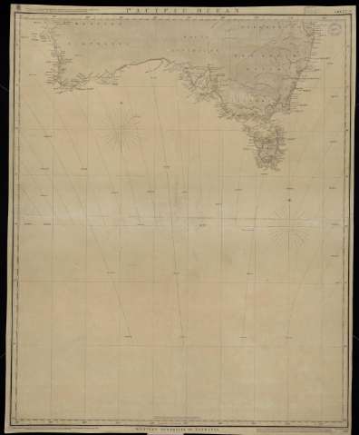
Pacific Ocean Sheet 9. Western Australia to Tasmania


 Disponible Holdings
 Section: Maps, plans and nautical charts
Title: Pacific Ocean Sheet 9. Western Australia to Tasmania / Engraved by J. & C. Walker
Material or type of resouce Area: Escala [ca. 1:5.555.555]
Publication: London : Published at the Admiralty, 1857
Physical description: 1 carta náutica : papel entelado ; 79 x 64 cm
Content type: Imagen cartográfica
Media type: computadora
Carrier type: recurso en línea
Notes: Corrections to July 1862
Meridiano de Greenwich
Sello: Hydrographic Office
Nº H. O.: 2467
Genre / form: Cartas náuticas
Other authors: España. Dirección de Hidrografía, productor
UDC: (265)
Type of publication:
 Maps
Maps
Real Instituto y Observatorio de la Armada
Collection: PROA — Location: PL — Call number: M/0043 — Nº de registro: 43 — Código de barras: 9594616 — Notes: Bueno
Préstamo:
Disponible

© Ministerio de Defensa de España
P. de la Castellana, 109 28071 Madrid.
Tlf: (34) 91 395 50 00
Email: patrimonio.cultural@oc.mde.es