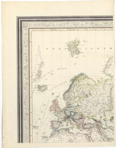
Erdkarte in Mercators Projection


Section: Maps, plans and nautical charts
Uniform title: Mundo. Corrientes marinas (1856). 1:31000000
Title: Erdkarte in Mercators Projection / bearbeited von H. Kiepert ; gestochen von C.L. Ohmann
Material or type of resouce Area: Escala [ca. 1:31000000] ; proyec. Mercator
Publication: Berlin : Verlag von D. Reimer, 1856 (Druck V.A. Dettmers)
Physical description: 1 planisferio en 8 h. : col. ; h. de 60x46,5 cm
Content type: Imagen cartográfica
Media type: computadora
Carrier type: recurso en línea
Notes: Escala hallada a partir de un grado [= 0'35 cm] en el Ecuador. Coordenadas referidas al meridiano de Hierro. Red geográfica de 10° en 10°
Relieve representado por sombreado
Indica las corrientes marinas
Materia / lugar / evento: Mapas generales
1856
Other authors: Kiepert, Heinrich
Dettmers, A
Ohmann, C. L
Reimer, Dietrich
UDC: 912:551.465(100)'1856'
100
Type of publication:
 Maps
Maps
Rights:
Préstamo:
 Disponible
