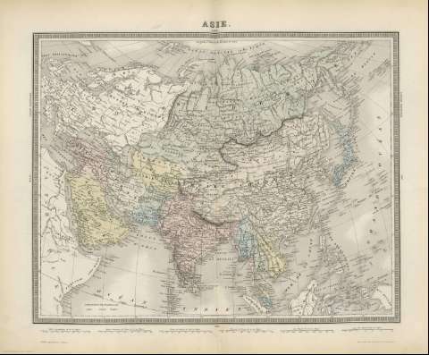
Asie : [carte génerale]


 Disponible
 Section: Maps, plans and nautical charts
Uniform title: Asia. Mapas generales. 1870. 1:2867380600
Title: Asie : [carte génerale] / Imp. en taille douce de Lemercier
Material or type of resouce Area: Escala [ca. 1:2867380600], 400 lieues conmunes de France de 25 au degré [= 6,2 cm]
Publication: A París : Publié par Furne, [1870]
Physical description: 1 mapa : col. ; 34 x 43 cm en h. de 42 x 52 cm, pleg. en 42 x 26 cm
Content type: Imagen cartográfica
Media type: computadora
Carrier type: recurso en línea
Notes: Escala grafica además en "Milles geográfiques de 60 au degré", etc. Coordenadas referidas al meridiano de París (E 20 -E 28 /N 80 -N 0)
Relieve representado por normales
Other authors: Imprimerie Lemercier et cie
Related titles: Asia. Mapas generales (1867). 1:2867380600
UDC: 912:431.222(5)'1870'
5
Type of publication:
 Maps
Maps
Rights:
