China (Östl. Theil), Korea und Japan. : im maassstabe von...


 Maps, plans and nautical charts
China (Östl. Theil), Korea und Japan (1879)
- Petermann, Augustus, 1822-1878
Maps, plans and nautical charts
China (Östl. Theil), Korea und Japan (1879)
- Petermann, Augustus, 1822-1878
 Disponible Holdings
 Section: Maps, plans and nautical charts
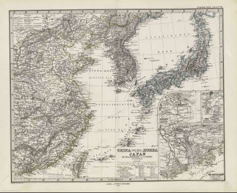
Title: China (Östl. Theil), Korea und Japan. : im maassstabe von 1:7500000 / von A. Petermann ; Bearbeitet von E. Debes & H. Habenicht ; Gestochen V.H. Eberhardt, Terrain V.C. Jungmann
Author: Petermann, Augustus, 1822-1878
Material or type of resouce Area: 1:7500000 (E 110 -E 144 /N 44 -N 22)
Publication: Gotha (Alemania) : Justus Perthes, 1879
Physical description: 1 mapa : col. ; 38 x 41 cm en h. de 39 x 48 cm, pleg. en 39 x 24 cm
Content type: Imagen cartográfica
Media type: computadora
Carrier type: recurso en línea
Notes: Coordenadas referidas a los meridianos de París y de Hierro
Relieve representado por normales
Leyenda de signos utilizados
Inserta: Schanghai und Umbegund. 1:500000 ; Sedo und Umgebung. 1:1500000 ; Des Canton-Strom und seine Umgebun. 1:1500000
En el margen superior derecho : "Stieler's Hand-Atlas Nº 65"
Copia digital . España : Ministerio de Cultura y Deporte. Subdirección General de Coordinación Bibliotecaria, 2010
Other titles: En: Hand atlas : über alle Theile der Erde und über das Weltgebäude. - Gotha [Alemania R.D.] : Justus Perthes, [1879]. - Nº 65
Materia / lugar / evento: Corea (República Popular)
China
Japón
Corea (República)
Asia
Other authors: Debes, Ernst, 1840-1923
Habenicht, Hermann, 1844-1917
Jungmann, Carl
Justus Perthes (Firma)
Related titles: Asia. 1:7500000
UDC: 912:341.222(510+52+519.5+519.3)'1879'
519.3
510
52
519.5
Type of publication:
Maps
Rights:
