[Map of East Africa]


Section: Maps, plans and nautical charts
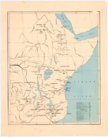
Uniform title: AFRICA. Misiones (186). 1:1200000
Title: [Map of East Africa]
Material or type of resouce Area: [Ca. 1:12000000] ; [proyec. sinusoidal] (E 24°50'-E 50°25'/N 20°0'-S 15°35')
Publication: London : Stauford's Geographical Estab., [186-?]
Physical description: 1 mapa : col. ; 36,5 x 30 cm en h. de 43,5 x 34,5 cm
Content type: Imagen cartográfica
Media type: computadora
Carrier type: recurso en línea
Notes: Título propio redactado a partir del contenido del documento
Escala hallada a partir de un grado de latitud [= 5 cm]. Red geografica de 5° en 5°
Relieve representado por normales
Relación de las principales iglesias de las distintas religiones indicada por clave alfabética
Other authors: Stanford's Geographical Establishment (Londres)
UDC: 912:266(6-11)'1860/1869'
6-11
Type of publication:
 Maps
Maps
Rights:
Préstamo:
 Disponible
