Geognostische Karte vondem Odenwald und einigen...


 Maps, plans and nautical charts
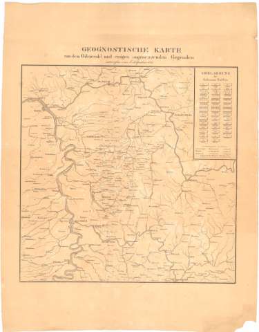
Geognostische Karte vondem Odenwald und einigen angraeuzenden Gegendeu (1827)
Maps, plans and nautical charts
Geognostische Karte vondem Odenwald und einigen angraeuzenden Gegendeu (1827)
 Disponible Holdings
 Section: Maps, plans and nautical charts
Uniform title: ODENWALD (Alemania). Mapas geológicos (1827). 1:50000
Title: Geognostische Karte vondem Odenwald und einigen angraeuzenden Gegendeu / entruorfen von. A Klipstein
Material or type of resouce Area: Escala [ca. 1:50000], 2 Geographische Meileu 15-1 des Acquators [= 8 cm]
Publication: [Alemania : [Editor no identificado]], 1827
Physical description: 1 mapa ; 44x44'5 cm en h. de 67x52 cm
Content type: Imagen cartográfica
Media type: computadora
Carrier type: recurso en línea
Notes: Tabla de signos convencionales para indicar la diferente composición del suelo
Materia / lugar / evento: Mapas geológicos
1827
Other authors: Klipstein, Aug
UDC: 912:55(430-328 Odemwald)'1827'
430-328 Odenwald
Type of publication:
Maps
Rights:
Préstamo:
Disponible
